
Our Services
At EGR & Associates, we offer a full range of professional land surveying services to support homeowners, developers, engineers, real estate professionals, and public agencies across Oregon. Whether you need a simple property line confirmed, or detailed mapping for development, our experienced team delivers accurate, timely results.
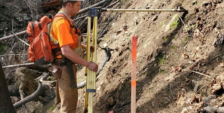
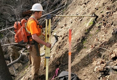
Corner Search & Boundary Surveys
Physical recovery or resetting of legal property monuments provides the definitive proof of ownership needed for fences, real estate sales, and neighbor disputes. A filed Record of Survey secures these boundaries for the future.
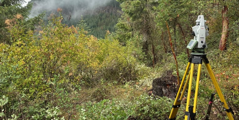
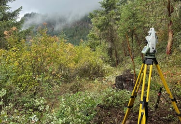
Topographic
Detailed 3D mapping of terrain, elevations, and existing utilities/improvements provides the critical data foundation for architects and engineers. This ensures new construction and site improvements are designed to fit the actual land.
Land Partitions and Subdivisions
Strategic navigation of the legal division process transforms properties into multiple independent, lots or parcels. This professional mapping unlocks maximum property value through the creation of new legal lots.
Property Line Adjustments
FEMA Elevations Certificates & LOMAs
Certified documentation of an or structure's elevation relative to flood levels often leads to reduced insurance premiums. A Letter of Map Amendment (LOMA) can officially remove a property from high-risk flood zones.
ALTA/NSPS Land Title Surveys
High-Accuracy Drone Data Collection
With 4 FAA Part 107 Licensed Remote Pilots on Staff, we have the ability to gather and process accurate data to meet all of our client's needs. Advanced aerial imaging captures high-resolution data and dense topography over large or inaccessible tracts of land. This modern approach delivers a precise, "bird’s-eye" perspective for large-scale planning and analysis.
Timber Boundary Marking
The professional solution for legally moving a boundary between neighboring properties without the complexity of a full partition. This process ensures all changes are accurately surveyed and recorded with the county.
Comprehensive site analysis meeting national standards satisfies the most rigorous requirements of title companies and commercial lenders. These surveys offer an exhaustive look at easements, zoning, and potential property encumbrances.
High-visibility flagging and marking of property lines in forested terrain prevent costly timber trespass and harvest errors. This service protects natural resources and provides clear limits for logging operations and neighbors.

Contact
Reach out for Expert Land Surveying Services
© 2025. All rights reserved.
Phone